
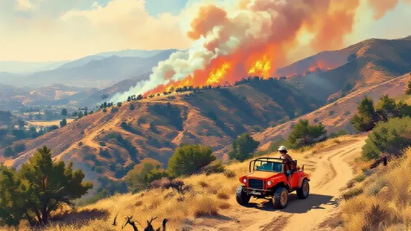
Southern California’s recent wave of wildfires is easing as the powerful Santa Ana winds that fanned the flames have abated. Fire crews across the region are reporting significant progress on blazes that damaged homes, closed highways, and impacted a military base. However, the respite may be brief, as an incoming storm system is expected to bring a significant cooldown and widespread rain, raising new risks for the region.
The most destructive of the recent fires, the Norte fire in San Clemente, was 50% contained as of Sunday afternoon, according to the Orange County Fire Authority. This blaze, which ignited around 11:30 a.m. Friday, burned more than 570 acres and damaged or destroyed at least seven structures. Propelled by 40 mph gusts, it forced approximately 16,000 people to evacuate from San Clemente and San Juan Capistrano. All evacuation orders for the Norte fire have since been lifted, though fire crews will remain in the area for several days to manage hot spots and secure the perimeter.
Other significant blazes are also coming under control. The Bryson fire, which started Thursday in Malibu, was reported 68% contained as of Sunday morning, with all evacuation orders lifted. In northern San Diego County, the Henderson fire near Camp Pendleton in Oceanside had burned over 3,100 acres and was 65% contained. The causes of all three fires remain under investigation. These fires flared up as powerful downslope Santa Ana winds combined with warm temperatures and dry vegetation, creating conditions ripe for rapid spread. Sean Doran, a spokesman with the Orange County Fire Authority, explained that such strong winds create the ideal conditions for any ignition to quickly take hold and spread.
Looking ahead, a significant cooldown is expected across Southern California through the middle of the week. The National Weather Service anticipates widespread rain likely on Wednesday and Thursday, with a possibility of thunderstorms. This change in weather, while welcome for fire suppression, also introduces new hazards. The National Weather Service warned that rain could trigger debris flow near recent burn scars. Joe Sirard, a meteorologist with the National Weather Service in Oxnard, explained that high-intensity rainfall, particularly with showers and thunderstorms in areas recently affected by fire, always carries the possibility of mud and debris flows. He confirmed that meteorologists would be closely monitoring the storm system.
Current forecasts for the incoming rain suggest between one and two inches along the coast and foothills of Los Angeles County, with up to three inches possible in the mountains. However, models are not yet in agreement on the precise amount of rainfall. Despite the impending cooldown, Sirard cautioned that it doesn't necessarily signal an end to the region's heat. He noted that it’s not unusual to get warm spells into November.
Indeed, the recent fires may be a precursor to the rest of the year. The National Oceanic and Atmospheric Administration’s latest seasonal outlook indicates that the next three months are likely to be warmer than normal across California, following a period of dryness and record-breaking high temperatures. However, a developing El Niño climate pattern is also expected to bring “soggy conditions” to the Golden State, which could contribute to an early end for the fire season. This pattern, associated with warm, wet winters in California, has already delivered powerful ocean swells along the state’s coast.
Fire crews and emergency operators across Southern California are preparing for the dual threats of wildfire and potential floods and debris flows. Doran emphasized that this preparation is ongoing, stating that crews anticipate that a wildfire's “second phase” is the potential for mudslides and debris flow as winter approaches. In Orange County, crews are also conducting “suppression repair” for the Norte fire, an effort to restore the burned area by re-establishing natural habitat. Doran described this work, which involves covering the area with shrubs and clippings, as “a really big piece that isn't talked about as much” but is crucial for visual restoration and creating barriers against runoff and debris flow.
The immediate shift in weather has allowed firefighters to gain the upper hand on recent blazes, but the region now braces for the next phase of its changing autumn weather.