
Two Pacific storms are heading for the Southland region, bringing a sequence of wet weather systems, notably cooler temperatures, and choppy ocean conditions to the local area over the coming days.
The National Weather Service is actively tracking the incoming storms as they approach the coast. Rain is expected to start late Thursday evening, transitioning into light showers beginning late Thursday night. This moisture will then spread steadily across Los Angeles and Orange counties before Friday dawn. For residents in Orange County, there is also a slight chance of lightning accompanying the first storm system.
Hourly rainfall rates are forecasted to stay mostly below a quarter-inch during the initial phase of the wet weather. Regarding the intensity of the precipitation, forecasters told a local news report, "Peak rain rates will be about the same so still not expecting any significant impacts."
The first round of showers is expected to taper off after Friday sunrise, though isolated showers will linger throughout the day on Friday. A second system is scheduled to arrive Friday night and extend into early Saturday. Elaborating on the distribution of the rainfall across the region, NWS forecasters told a local news report, "Any areas that don’t get wet Friday morning should get wet Friday night."
Total rainfall amounts through Saturday are expected to reach a half-inch to one inch across most of Los Angeles and Orange counties. Accompanying the incoming rain, temperatures will cool sharply on Thursday and Friday, though they are expected to eventually reach near-normal levels by Friday.
Following the weekend storms, Sunday is expected to be dry, bringing mid-sixties to low seventies highs across the region. However, the break in the weather may be brief. A potential storm is lined up to arrive on Monday or early Tuesday, and a possible third system could follow late Wednesday or Thursday. For the later system, forecasters note a ten percent to twenty percent chance of one to three inches of rain.
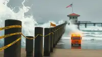
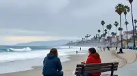
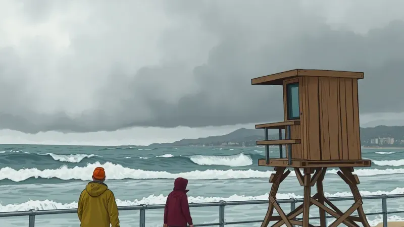
At the shoreline, a large west-to-northwest swell is reaching the coast this weekend. This swell will bring hazardous surf and dangerous rip currents specifically at west-facing Los Angeles County beaches. Additionally, beach erosion and shallow flooding are possible near high tide, prompting caution for anyone heading toward the coast.