Southern California is keeping an eye on the Pacific this week as a tropical system off the Baja California coast gains strength, with the potential to become a hurricane by Wednesday or Thursday. The National Weather Service (NWS) is closely monitoring the system, noting that "all eyes remain focused on the Labor Day holiday weekend period" for possible impacts across the region, including high surf, coastal flooding, rain, and strong winds.
Once formed, the storm is expected to move northwest through Saturday, though its trajectory beyond that remains a significant question mark for forecasters. Some models show the system continuing north, potentially bringing significant rain and wind to Southern California by Labor Day or Tuesday. Other projections suggest it could veer west, staying well offshore and having little to no impact on the region.
The NWS indicates that the heaviest rain scenario, with two inches or more, is considered the least likely outcome, with only 5% to 10% of projections showing such conditions. Conversely, a completely dry scenario has a 20% to 30% chance. This makes the most probable outcome some light rain for the holiday weekend. There’s also a low but possible chance of strong easterly winds, which could elevate fire danger and cause trees to fall.
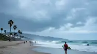
Despite the range of possibilities, forecasters have greater confidence in significant coastal impacts. A south swell is expected to build through Tuesday, unless the developing storm veers sharply west after Saturday. Swells from Hurricane Karina are also expected to linger. Evening high tides are forecast to approach seven feet by Monday, making high surf and moderate coastal flooding along south-facing beaches the most likely scenario for the busy holiday weekend. These impacts could be more pronounced if the storm tracks closer to the coast.
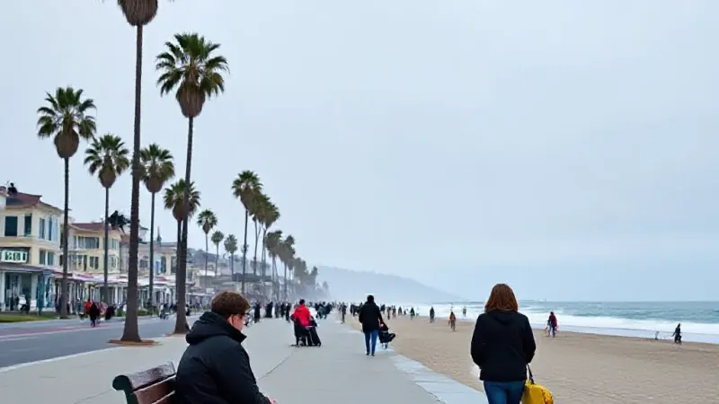
Forecasters, acknowledging the unusual nature of such a storm in the region, expect considerable uncertainty to persist even as the weekend approaches, with hope that more clarity will emerge by mid-week once the storm officially forms. In the meantime, Los Angeles and Orange counties can expect relatively quiet weather through Friday, with below-normal temperatures and coastal clouds. While still warm, it won't be as hot as last week, and tropical moisture is expected to stay away through the workweek, reducing muggy conditions, though warm ocean temperatures will keep humidity somewhat elevated. A deep marine layer is also expected, potentially bringing morning drizzle to some areas through the week before attention shifts to the developing tropical system and its holiday weekend implications.