Hurricane Marie is expected to remain far offshore, but its presence in the eastern Pacific is still set to bring significant surf and a chance of tropical showers to Southern California for the Labor Day weekend. While the storm's core will stay about 800 miles from Los Angeles, its far-reaching influence means local beaches and low-lying coastal areas will feel the effects.
Concerns about Marie's path have been present since it formed early Tuesday, just offshore of Mexico. Meteorologists ran models, with most indicating a trajectory west, away from land. However, some outlying models had initially suggested a potential northward track into Southern California. UC climate scientist Daniel Swain clarified the situation in a blog post, stating that “the odds of an actual hurricane landfall ... was, and remains, essentially zero.”
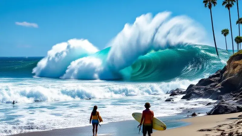
Despite not making landfall, Marie is expected to generate a 6- to 8-foot south swell, bringing strong surf and dangerous rip currents to Southern California beaches. This comes as thousands of people are anticipated to head to the coast to celebrate the long weekend. Rose Schoenfeld, a meteorologist with the National Weather Service in Oxnard, advised caution for those planning beach trips. “We’d encourage people, if you are planning a beach trip, to swim where there’s a lifeguard and be aware of rip currents,” Schoenfeld said.
Beyond the ocean conditions, Marie could also usher in increased humidity and scattered rain. Humidity levels are forecast to range from 35% to 50% over the weekend, with temperatures along the coast settling in the mid-80s, bringing a return to the muggy weather experienced late last month. The weather service notes a chance of light rain, potentially up to a quarter of an inch, arriving by Sunday across the region, along with a 5% to 10% chance of thunderstorms. For those organizing outdoor events with a low tolerance for rain, Schoenfeld suggested looking “into alternate plans.”
The incoming south swell is also coinciding with evening high tides, raising the potential for moderate coastal flooding in specific low-lying areas. The National Weather Service points to locations like Avalon, the Alamitos Peninsula in Long Beach, Malibu, and Point Mugu as being at increased risk. While significant rain from Marie is unlikely to reach farther north than the Central Coast, swells from the south could extend to the Central Coast and even the Bay Area.
The weather service office in San Francisco has already issued a beach hazards statement, warning of 10-foot waves and strong rip currents from Friday morning through Monday evening. They caution residents to “Stay off of jetties, piers, rocks, and other waterside infrastructure. Remain out of the water to avoid hazardous surf and NEVER turn your back on the ocean.” Southern California forecasters anticipate similar warnings could be issued locally in the coming days.
These elevated surf and rip current warnings arrive after a summer marked by several tragedies and increased rescues on Southern California beaches. Last week, a 41-year-old man died after being pulled from the water while bodysurfing in South Crescent Bay in Laguna Beach. On August 3, a 24-year-old swimmer who was struggling in the water in Laguna Beach went missing and was later found deceased by lifeguards. In June, a 5-year-old girl from San Bernardino drowned in Laguna Beach after being pulled into the ocean. The heightened ocean hazards underscore the importance of vigilance this holiday weekend.